
Huntersville ZIP Code Coverage
ZIP codes are postal delivery geography. They do not follow Huntersville’s incorporated boundary or a property-line map. The two strongest town-specific postal identifiers are 28078, the main residential and general Huntersville postal area, and 28070, which is principally a PO Box or limited postal-use ZIP. Nearby 28031, 28035, and 28036 appear in broader North Mecklenburg service material, but that context does not make every address in those ZIPs a Huntersville address.
| ZIP | Areas Covered | Post Office | Notes |
|---|---|---|---|
| 28078 | Main residential and general Huntersville postal area | Huntersville postal designation | Primary Huntersville ZIP in county and state materials; verify each address with USPS. |
| 28070 | Huntersville PO Box or limited postal use | Huntersville postal designation | Do not treat it as a parcel or neighborhood boundary. |
| 28031 | Broader North Mecklenburg and Cornelius postal context | Cornelius postal area | Not every 28031 address is inside Huntersville. |
| 28036 | Broader North Mecklenburg and Davidson postal context | Davidson postal area | Adjacent-area context, not a blanket Huntersville ZIP. |
| 28035 | Regional North Mecklenburg service context | Regional service area | Verify the individual street address and jurisdiction. |
County microtransit material can place several of these ZIPs in one North Mecklenburg service zone. A service zone is useful transportation context, not evidence that every addressed parcel is in the town.
Huntersville ZIP Code 28078
For most current residential searches, 28078 is the first Huntersville ZIP code to test. It is the main general-use postal identity found in official county and state materials. That still leaves an important check: a postal city name can be recognized for mailing while the parcel’s municipal jurisdiction, tax district, fire district, or service area says something different. Use the whole address in USPS, then compare the GIS or property result for the situs address, PID, and legal description.
Growth makes that distinction more valuable. Huntersville includes an older railroad-centered core, rural roads, lake-adjacent addresses, planned communities, commercial corridors, annexed land, and newer subdivisions. A five-digit ZIP cannot preserve each of those record boundaries. Current parcel and address data are a better tie-breaker when a directory, deed, or permit uses a different local label.
Note: A ZIP match verifies postal delivery information, not ownership, municipal residence, or current household membership.
Huntersville ZIP Code 28070
ZIP code 28070 is a real Huntersville postal designation, but its practical role is different from 28078. Research identifies it as a PO Box or limited postal-use ZIP. It should not be used as if it marked a broad residential area, a subdivision, or a parcel search boundary. When mail displays 28070, record the street address if one exists and confirm the underlying location with the county address and parcel systems.
A PO Box can also appear as a tax mailing address. That is where correspondence goes, not necessarily where the recorded owner lives or where the parcel is located. Keeping the mailing field separate from the situs field prevents a common mistaken match in ZIP-based research. For a historical trail, add the owner name, PID, and legal description before assuming a PO Box connects to a particular building.
Huntersville ZIP Code Neighbors
ZIP codes 28031, 28035, and 28036 belong in the record search only as nearby North Mecklenburg context. 28031 is associated with Cornelius postal geography, while 28036 is associated with Davidson. 28035 appears in regional service material. These labels can be helpful when an old rural route, a service agency, or a mailing address crosses the familiar town label. They are not a shortcut to a town-boundary decision.
County Address Management supplies the local context that ZIP codes do not: long and short street names, house numbers, postal city, jurisdiction, volunteer-fire district, ETJ, special tax districts, and road-centerline ranges. Its rules against duplicate or too-similar street names also explain why typed suffixes or old local labels can mislead. The stable bridge is the PID and legal description, not an assumed ZIP border.
Finding Huntersville Residents by ZIP
There is no verified ZIP filter on the Mecklenburg property portal or the voter lookup. The property system is address, owner, and parcel oriented. POLARIS uses address, parcel, owner, or landmark input. The state voter lookup requires first and last names plus at least one voter status, and it does not expose a verified ZIP search. For that reason, a ZIP code is a starting constraint, not a local people-list filter.
- Use USPS at the full-address level to standardize the street line, city, state, and ZIP code.
- Search the verified address in property records or POLARIS and save the PID, situs, mailing address, and legal description.
- When a ZIP-wide public record is actually needed, request a statutory voter file by the permitted geography and fields, or ask the county for an existing record that it maintains.
- Use the parcel or street address to compare a dated deed, permit, directory, or voter record. Do not infer a household from the ZIP alone.
Once a ZIP narrows the location to one street, the Huntersville by-street directory gives the address-first record chain. It uses the property and deed trail rather than treating a ZIP as a household directory.
Huntersville USPS ZIP Code Checks
USPS is the address-level authority for the postal question. Its tool has three useful modes. By Address standardizes a delivery address. By City and State returns recognized ZIPs, but warns that several ZIPs require a full address to resolve. Cities by ZIP returns recognized or recommended city names. USPS itself warns that a lookup result does not confirm a person or business at that address.
The USPS ZIP Code Lookup provides the three postal search modes.
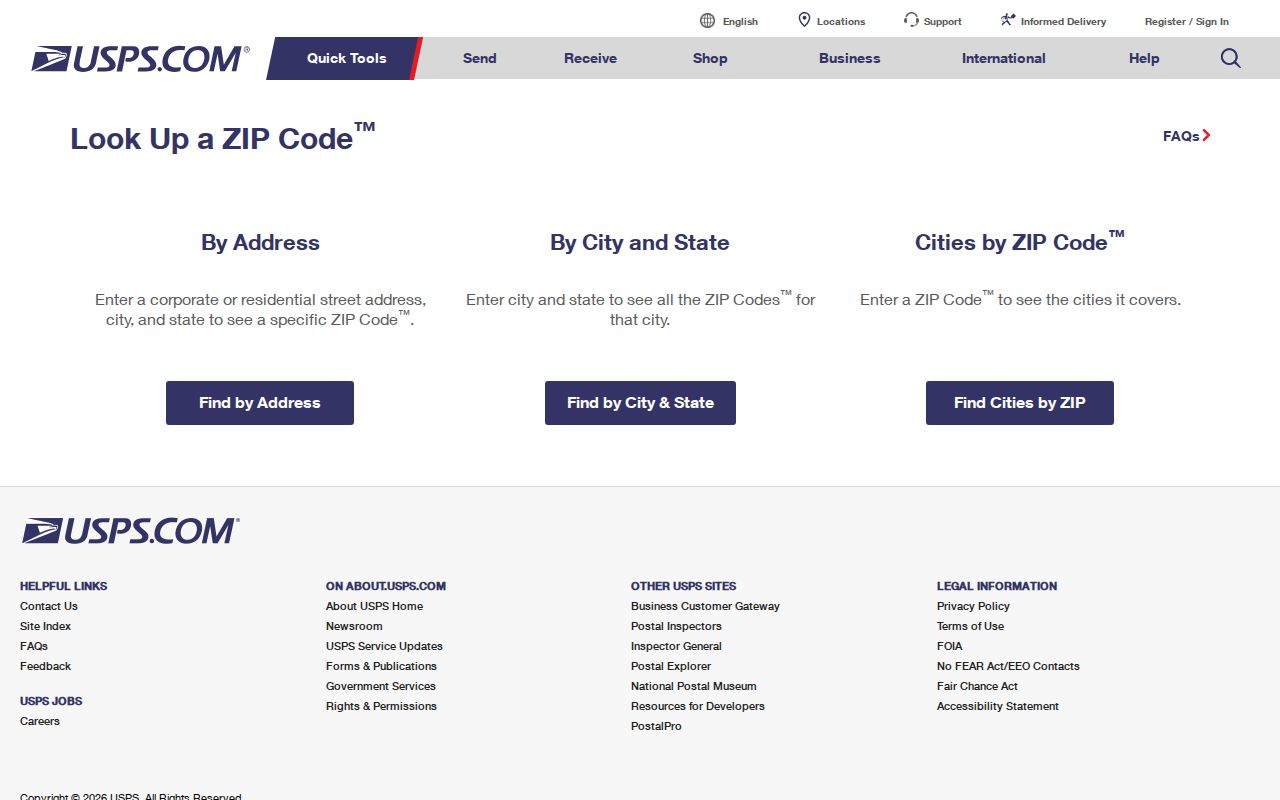
Use the standardized result as a postal reference, then carry the full street address into county GIS or property records for the land and jurisdiction question.
| USPS mode | Fields and result |
|---|---|
| By Address | Company, street address, apartment or suite, city, state, and optional ZIP. Street, city, and state are required for a standardized match. |
| By City and State | City and state are required. Returns recognized ZIPs and signals when a full address is needed. |
| Cities by ZIP | A ZIP is required. Returns recognized or recommended city names for that postal code. |
Huntersville ZIP Requests and Parcel IDs
When a ZIP-wide result is not available through a portal, use an existing-record request rather than inventing a filter. North Carolina public-records law allows inspection and copies of records an agency keeps, but G.S. 132-6.2 does not require an agency to create a new compilation. A focused request should identify the record, its date range, desired geography or fields, and delivery medium. Voter-file requests can be tailored by authorized categories such as district, precinct, party, gender, race, registration date, or history, subject to the statute’s public-field limits.
The Mecklenburg public-records request portal can route a county request.
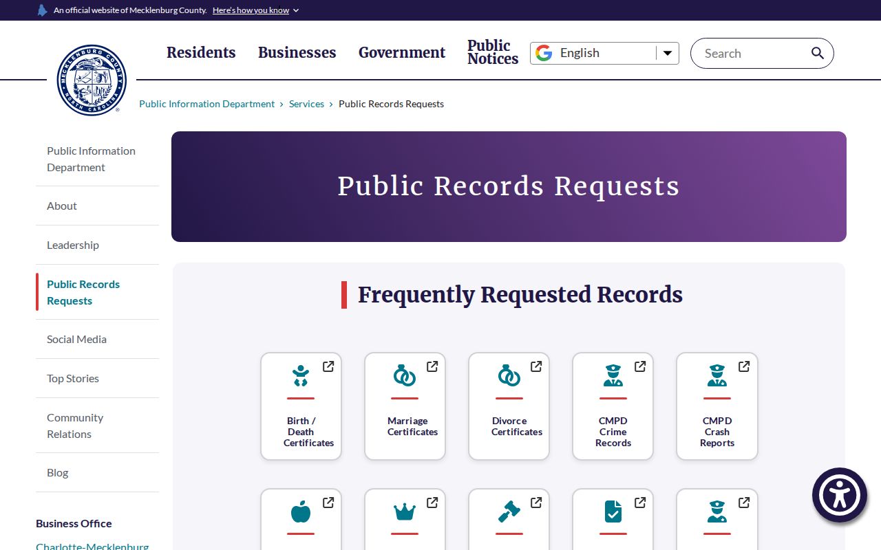
A PID is often more precise than a ZIP for a local request because it ties the request to the county’s individual parcel instead of a broad postal area.
Huntersville ZIP Codes and City Limits
Postal city, municipality, county, tax district, emergency-service zone, and ZIP are separate systems. A Huntersville postal label can appear outside the incorporated town, while a nearby postal label can be relevant to a town address or service area. A county or state ZIP table can also be date-specific and may span more than one county or tax geography. For a records search, keep the postal label in one field and the town jurisdiction in another.
- ZIP code
- A USPS delivery-geography code used to route mail. It is not a town-boundary or parcel identifier.
- ZIP+4
- An added four-digit delivery segment that helps USPS sort mail more precisely than the five-digit ZIP.
- PO Box ZIP
- A ZIP used chiefly for post-office boxes or limited postal service, rather than a broad street-delivery territory.
- Carrier route
- A delivery grouping used by USPS for a particular route. It does not establish a municipal boundary or a household list.
Address Management project maps date from April 2000, and local annexation can change jurisdiction without erasing older record labels. A current deed, permit, or directory may therefore need both the present postal form and a historical address form.
Huntersville ZIP Code Changes in Records
Street continuity can matter as much as postal continuity. Effective May 1, 2025, former North Main became Thread Lane and former South Main became Combs Lane. Search both names where a deed, permit, map, or directory uses an older string. The PID, plat, and legal description are better bridges than a changed street label or postal designation. This is especially important in older-town and newer-subdivision searches where the address format may have changed more than once.
The county also merged its former assessor and tax collector offices into the Office of Tax Administration effective July 1, 2026. The Mecklenburg tax office merger announcement documents the current office name.
Older parcel and tax material can still display the former office names. Follow the parcel, address, and legal-description fields instead of relying on an older agency label.