
Who Owns Along Huntersville Streets
A useful Huntersville street directory begins with an address, not a name. It can identify a recorded owner and create a trail of address-keyed records, but it cannot produce a complete list of everyone who is physically present at each house. Mecklenburg County records place Huntersville in a countywide system. Start by making the street line consistent, then move from the parcel to the documents that describe it. Keep the situs address, tax mailing address, and legal description in separate notes. Each answers a different question.
- Normalize the street line with USPS and the local address context. USPS can standardize an address and ZIP, but its result does not confirm that a person or business is there.
- Search the Mecklenburg property search or POLARIS by situs address. Save the PID, owner name, mailing address, and legal description.
- Use the PID and legal description to find the current owner as a grantee in the Register of Deeds index. Read the transfer and note the seller, recording data, and any plat reference.
- Check the voter route only when a name-based question makes that appropriate. The public lookup is not a street browse; a voter-file request has statutory limits and excludes protected fields.
- For an older household clue, browse the address section of a dated directory, then compare it with census, deeds, or a plat. There is no verified countywide criss-cross run to promise for every street.
That sequence separates ownership from occupancy and present records from older publications. It also leaves a trail that can be checked later: normalized address, PID, document number or book/page, directory year, and the exact old or current street spelling.
Huntersville Street Address Basics
Mecklenburg Address Management maintains the local elements behind a Huntersville address: house number, long and short street name, ZIP, postal city, jurisdiction, fire-district and special-tax context, road-centerline ranges, and emergency-service support. Its address-assignment rules avoid duplicate or too-similar street names across the county. That is why a familiar suffix or a close spelling should be checked against the official address record rather than assumed.
- Parcel
- A defined piece of land in the county tax and GIS system. Its PID is a stable bridge when a street label changes.
- Situs address
- The physical location attached to the parcel or structure. It is not the same field as the tax mailing address.
- Plat
- A recorded map that can identify a subdivision, lot, road layout, or boundary cited by a deed.
- Criss-cross directory
- A directory arranged by street address rather than by name. No authoritative local countywide run was found, so use a specific directory's address pages when available.
A parcel number is not a legal description, and a street number is not a deed description. Use the PID with the lot, subdivision, map, or metes-and-bounds wording found in the property record and deed. This matters when annexation, a new subdivision, or a renamed road causes records to display the same place differently.
Huntersville Street Property Search
POLARIS is Mecklenburg County's practical map companion for a Huntersville street directory search. Its Main Search accepts an address, parcel number, owner, or landmark. Situs Address Search is available when the street form needs to be explicit. Once a parcel is located, the map tools provide Streets, Overlays, Legend, Identify, Search Polygon, Print, Measure, and Markup. The available overlays can add zoning, floodplain, historic-district, school, voting, stormwater, park, library, and service context. They do not turn the map into a household list.
| POLARIS or Property Field | Input or Result | When It Helps |
|---|---|---|
| Owner or name | Search input | Find a recorded owner when the exact spelling is known. |
| Situs address | Search input | Locate the physical parcel on a Huntersville street. |
| Parcel or PID | Search input | Bridge property, permit, GIS, and deed research. |
| Mailing address | Result field | Identify where tax correspondence is sent, not who occupies the parcel. |
| Legal description | Result field | Match a lot, subdivision, plat, or deed across changing street labels. |
| Value and sale data | Result fields where displayed | Separate a recorded sale clue from an address or ownership claim. |
The current property portal is JavaScript-heavy, so the county's verified metadata, rather than guessed control labels, is the reliable starting point. A live card may show owner, situs, mailing, legal description, sales, values, and tax information. Record only fields actually shown on the result.
See the Mecklenburg County GIS view used for parcel and overlay research.
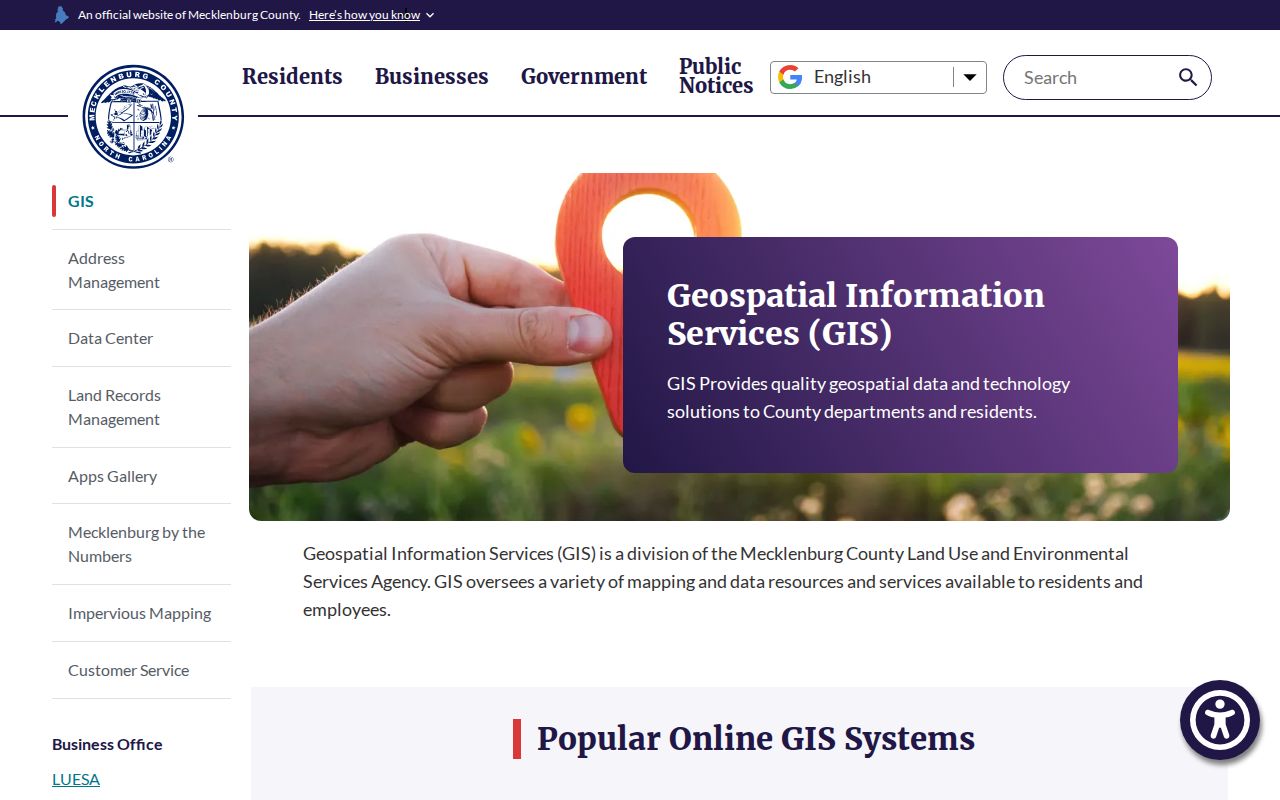
The GIS view is best used to connect a street address with an identified parcel and adjacent mapped features, not to infer an unlisted household.
Records Searchable by Huntersville Street
Several Mecklenburg systems accept an address or preserve one as a result field. A Huntersville street directory works best when each system is used for its narrow purpose. The parcel record supplies the owner, situs, mailing address, and legal description. Deeds and plats describe recorded interests and land. Permit and code files document work and compliance activity. A voter record is a registration record, not a census. Historical directory pages are dated publication clues rather than proof of an ongoing household.
| Address-Keyed Source | Custodian | What It Can Show | Access Route |
|---|---|---|---|
| Property and tax record | Office of Tax Administration and GIS | Owner, situs, mailing, legal description, values, and sales fields where displayed | Property search or POLARIS |
| Parcel geometry and overlays | Mecklenburg GIS | Parcel shape, adjacent parcels, districts, and mapped context | POLARIS map tools |
| Deed and plat | Register of Deeds | Transfer, lot, subdivision, map reference, and recorded restrictions | Modern or historical index and office copies |
| Permit or code file | Code Enforcement and LUESA systems | Applications, inspections, certificates, and named project roles | WebPermit, Accela, records forms, or archive research |
| Voter lookup or file | NCSBE and Mecklenburg Board of Elections | Registered name, status, address, districts, and voter history within public rules | Name lookup or a statutory file request |
| Historical directory | Carolina Room and digitized collections | Older address, occupation, household notation, or a printed address change | Browse selected directory runs |
Use the PID and legal description to connect the first four rows. Use a street name carefully, because a directory, permit, or recorded instrument may retain an older label. The Huntersville city directory collections provide the detailed shelf history for the historical volumes.
Huntersville Permit Records by Address
Permits are a second address trail, but they describe work at a property rather than a complete list of residents. WebPermit accepts Street Number and Street Name or a parcel number. For broad searching, its instructions say to omit suffixes such as Road, Street, Drive, or Lane. City can be varied or left blank. The public view does not require a login, while contractor submission does. Mecklenburg's newer AccelaMeck route offers guest searches for records, permits, plan review, and inspections.
Mecklenburg Code Enforcement says online document research generally reaches back six years. It includes certificates of occupancy or compliance and permit applications. Older or specialized material may require a records form, walk-in research, maps or copies, microfiche, mainframe, or IVR access. The expired-permit instructions also point to WebPermit archives for permits issued during the last seven years and Accela for newer work. A project applicant, contractor, designer, or owner reference is not evidence of current occupancy.
Mecklenburg announced the current split route in its Accela transition notice.
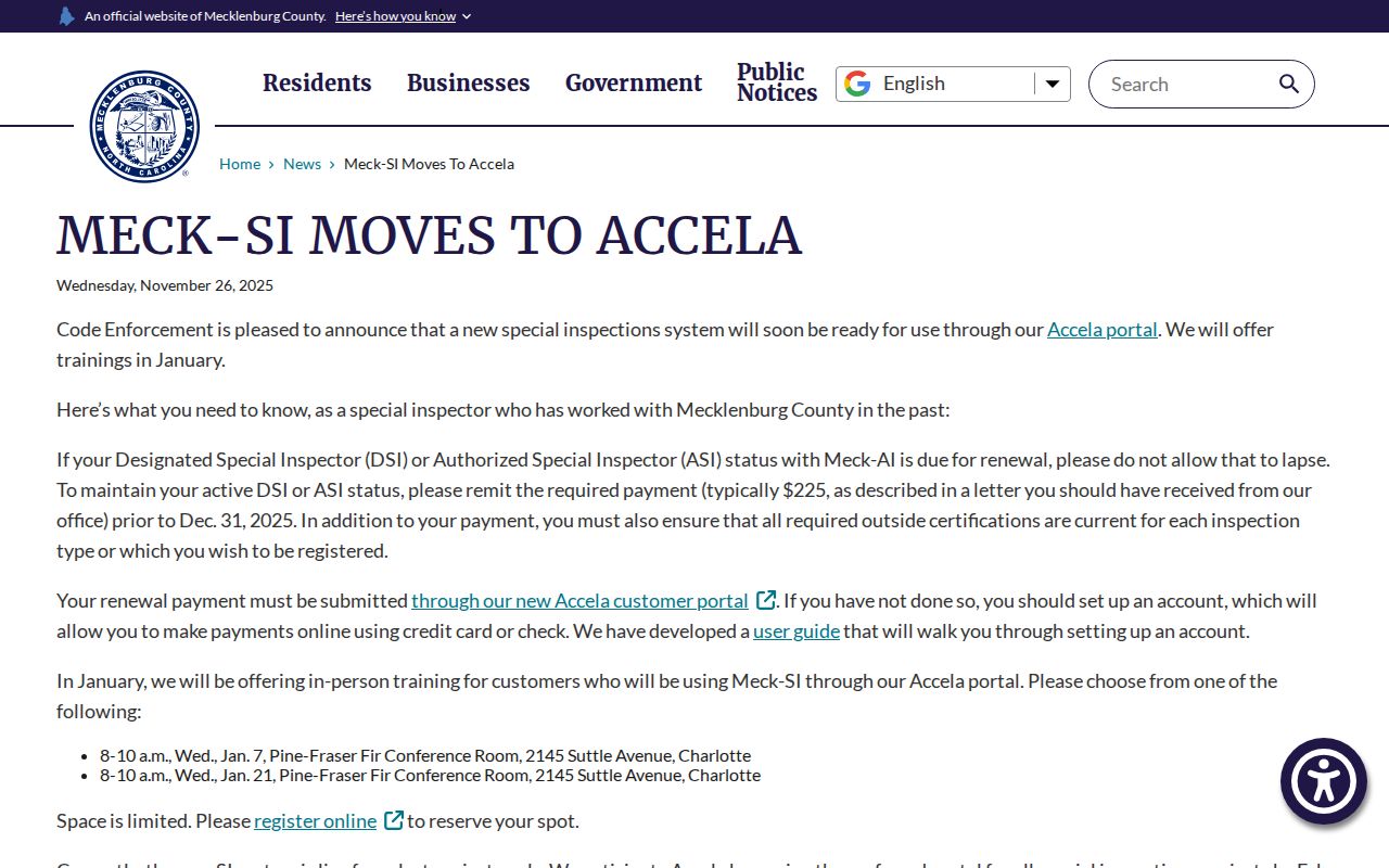
The transition notice explains why older address research may need WebPermit or an archive path while newer work appears in Accela.
Use the Code Enforcement public-records information for the documented online window and archive alternatives.
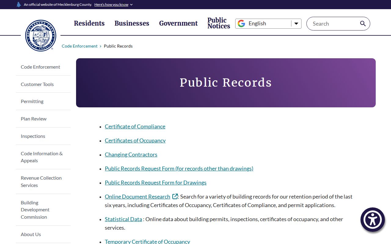
That records route is useful for construction and compliance context after the address and parcel are already confirmed.
Use the WebPermit address search when the record date falls within its retained workflow.
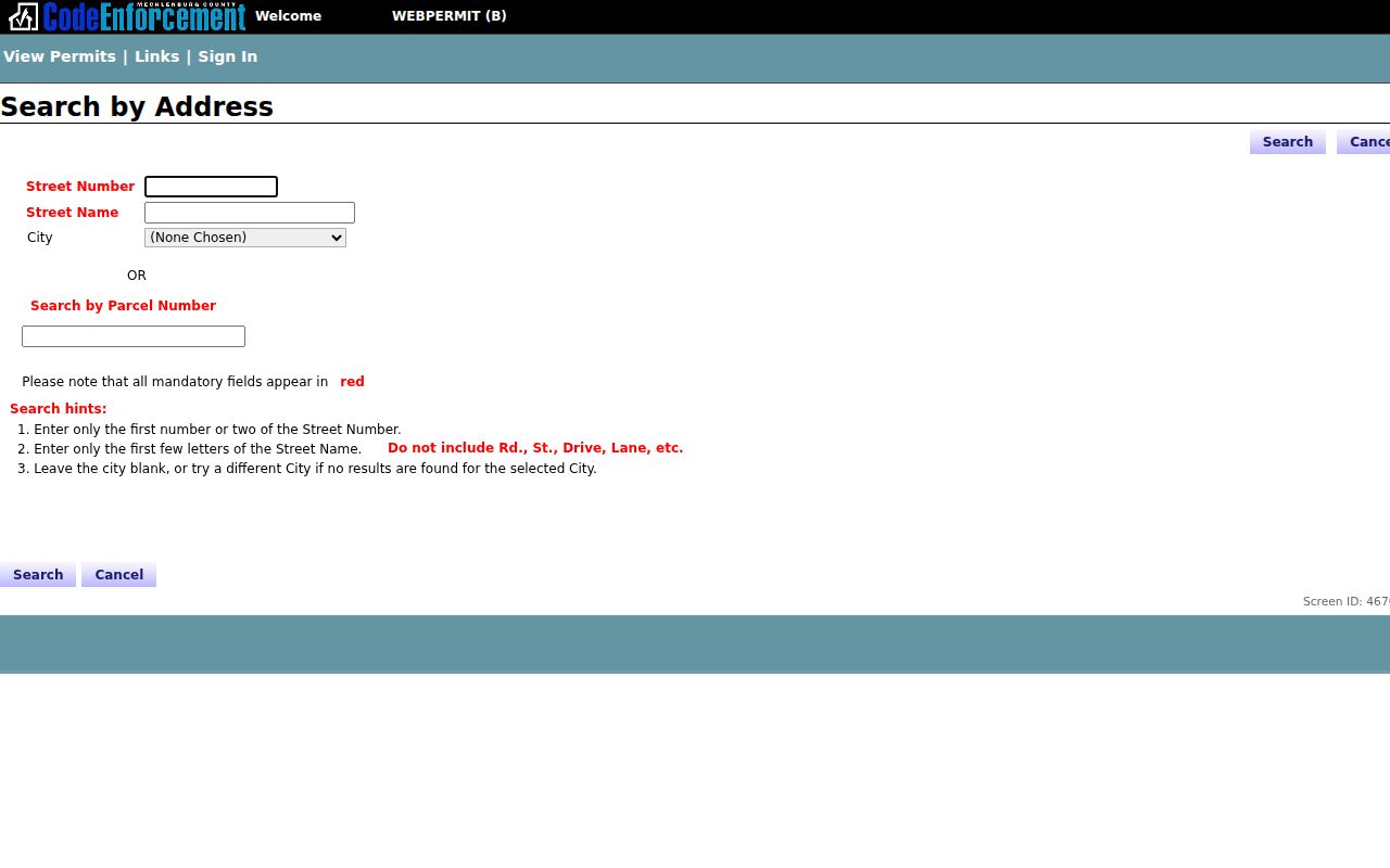
The form's number-and-name approach is why a normalized street line and PID make permit research more dependable.
Huntersville Street Deed Trail
For a recorded ownership trail, start with the parcel's current owner and legal description, then use the modern Register of Deeds portal as a grantee search. It covers recorded real-estate documents from March 1990 to the present. Open the purchase deed and record the seller, buyer, recording date, book/page or document number, legal description, and map reference. Search the seller as grantee to locate that owner's earlier purchase. Search both grantor and grantee because spelling, a trust, or a corporate name can appear on only one side of the chain.
Insider tip. Treat the seller on one deed as the next grantee to search. That simple reversal follows the property backward and is more reliable than assuming a name found in a street search was the prior owner.
When the chain reaches February 1990, move to the historical system. Its instructions use Land, Grantor or Grantee, a year range, Human or Corporation, and a last-name or name-portion search. Results can be loosely alphabetized, and similar sounding names may be grouped. The historical service reaches back to 1763 and can open scanned PDF pages, but the Register of Deeds office remains the authoritative custodian. Deeds document a transfer or legal interest. They do not establish every person who lived at a property.
Land Records Management distinguishes the owner, situs, mailing address, and legal description that make this trail possible.
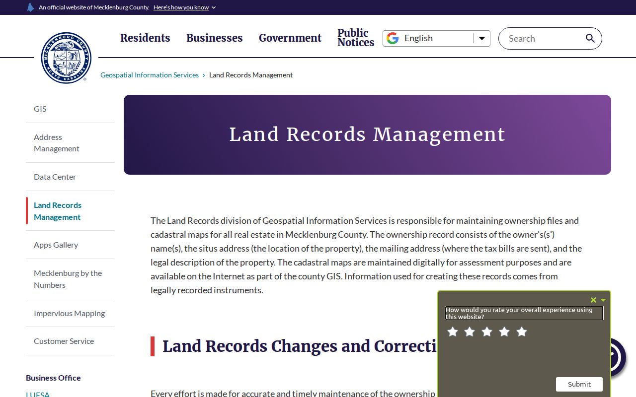
Using those fields together keeps a mailing clue from being mistaken for an occupancy claim and helps link a street search to a recorded plat.
Note: A recorded deed of trust, lien, satisfaction, or foreclosure notice needs later instruments and dates before its current status can be understood.
Huntersville Voter File Limits
The North Carolina voter lookup is centered on a person, not a street. It asks for first name, last name, an optional middle initial, optional year of birth, optional county, and at least one voter-status choice. Select Mecklenburg after a name lead is already available. A match can provide a public profile route, but status and history are participation records. They do not prove that the person currently occupies a particular Huntersville address, and voter history does not reveal candidate choices.
North Carolina law allows requested voter-file fields such as name, county voter ID, residential and mailing address, age rather than full date of birth, party, precinct, districts, and voter history. It withholds full or partial Social Security numbers, full date of birth, registration agency, email, identification copies, and driver-license numbers. The Mecklenburg Board of Elections has a data and request route for a defined geography and field set. A request should name the geography, dates, fields, format, and delivery medium rather than ask the office to create a new list.
Note: A registered-voter address can be useful corroboration, but protected addresses and ordinary moves mean it should never stand alone.
Huntersville Street History Clues
Historical address work depends on the exact book and year. Mecklenburg directory runs were located for selected years from 1875/76 through 1940, rather than as a complete annual Huntersville series. An address section may show a printed occupant notation, business detail, telephone reference, or former address. Read the front matter first. In a 1931 example, markers such as h and r, spouse parentheses, an occupation line, and an old/new address notation all have source-specific meanings.
Pair a directory entry with a deed, tax/GIS record, or the public federal census schedules through 1950. A directory can preserve an outdated address or describe a family member, lodger, or other household connection who never appears on a deed. The Charlotte History Toolkit recommends an address-first sequence through directories, plats, deeds, permits, and newspapers. It is a useful research method, not a replacement for a current property card or certified record.
Huntersville Street Renaming Bridge
Street text can change while the parcel remains the same. Effective May 1, 2025, former North Main Street became Thread Lane and former South Main Street became Combs Lane. The reported reasons included downtown roundabouts, emergency response, and wayfinding. Search both names in deeds, permits, and older directories, then rely on the PID, legal description, and plat if the results disagree. Address Management's rules against similar street names also make official spelling more dependable than a typed suffix.
Older Huntersville material can also use rural-route terms, subdivision names, or a different municipal label. Annexation can change a displayed jurisdiction without moving the road. A dated research log should keep the exact query spelling, source, access date, PID, and document or directory page. That small record prevents a later street-directory search from mixing two similarly named roads.
Huntersville Street Privacy Limits
A street directory is a record trail, not a roster of private life. Parcel data does not identify every household member, guest, utility customer, or protected resident. DMV personal data is not an open street lookup. Address Confidentiality Program and protective-order rules can keep an expected address out of otherwise public materials. A missing record is not proof that a person was never there.
Lawful personal use. Use Huntersville address records for family history, property questions, civic curiosity, and other lawful personal research. North Carolina public-record access does not permit stalking, harassment, intimidation, or disclosing a protected address.
North Carolina Public Records Law, Chapter 132, governs access to many county records, while each custodian still applies its own confidentiality rules. Ask for a narrow record, date range, parcel, street, or department when an online system ends. The agency need not create a list it does not keep.